

Quantitative Environmental Analysis
Applying mathematical modeling, GIS mapping, and fluid dynamics calculations to diagnose municipal infrastructure constraints and safeguard ecological integrity.


Systemic Bottleneck Analysis
During the TRACK program, I analyzed water quality datasets from municipal filtration systems. By applying statistical modeling to turbidity and flow rates, we isolated a critical filtration bottleneck.
This quantitative analysis translated raw field data into actionable engineering recommendations, optimizing daily throughput without compromising downstream ecological integrity.
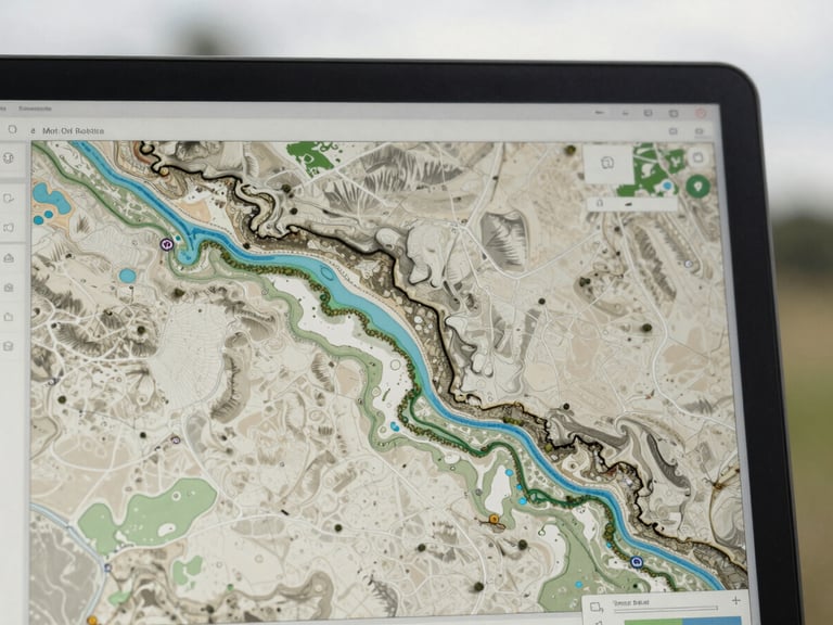
Modeling & Simulation Specs
Using advanced CAD and GIS platforms, I construct predictive dispersion models for airborne and aqueous pollutants. These quantitative models simulate fluid dynamics to map environmental impacts before remediation begins.
1:10k
GIS Mapping Scale
Our calculations rely on the standard advection-dispersion equation: dC/dt = D(d²C/dx²) - v(dC/dx), allowing us to project pollutant migration patterns across complex municipal watersheds with high precision.
94.2%
Model Accuracy
Next: Remediation Design
See how quantitative analysis translates directly into physical soil and water remediation strategies.